
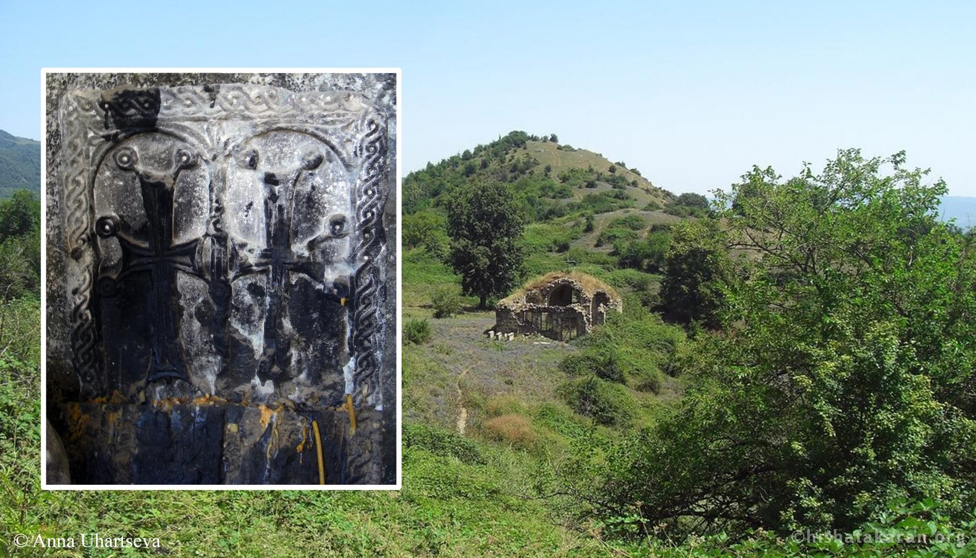
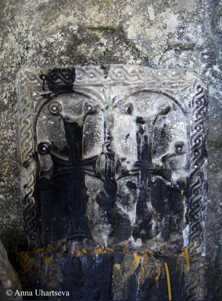
Chapar [Ch‘ap‘ar], Church of Shenategh, Khachkar № 5
Monument
.
Registrated monument
Monument type
Khachkar Original ownership and affiliation
Chapar (Old Chapar) The name of conservation unit
Khachkar A topographic report
Region (province), community
In the early Middle Ages, the territory of Chapar lay on the border between the Berdadzor and Mets Kuenk [Kuenk‘] districts of the Artsakh province of Greater Armenia. Later, it became part of the Herg district, which was included in the Jraberd melikdom. From 1991 to 2023, it was part of the Republic of Artsakh, Martakert region. Address
Republic of Artsakh, Martakert region, Chapar Topography
It is located 33 km southwest of the town of Martakert. Distance and location from community
It is located 1 km southwest of the village of Chapar, at the site of Shenategh (Old Chapar). Site elevation above sea level
1192 m above sea level Hydrography
It is located 3.2 km north of the Tartu (T‘art‘ar) river. Historical record
Cultural characteristics, period, century (centuries)
Armenian Apostolic Church, 11th–12th centuries Documents for dating: according to the iconography
Based on stylistic and artistic features Descriptive-Characterization Report
Building material (type, colour)
Sandstone Type
Funerary monument The condition of the monument before the forced displacement of Armenians
Average Value
It is important for the study of khachkar art in Artsakh, particularly during the period of the Principality of Khachen Photos
...
.
S.D.